

We provide professional GIS mapping services to support environmental reporting, planning submissions, and technical documentation. Our maps transform complex spatial datasets into clear and well-structured visual outputs that help communicate spatial information effectively.
By integrating cadastral boundaries, environmental datasets, survey data and aerial imagery, we produce maps that are both technically accurate and suitable for professional reports and regulatory submissions.
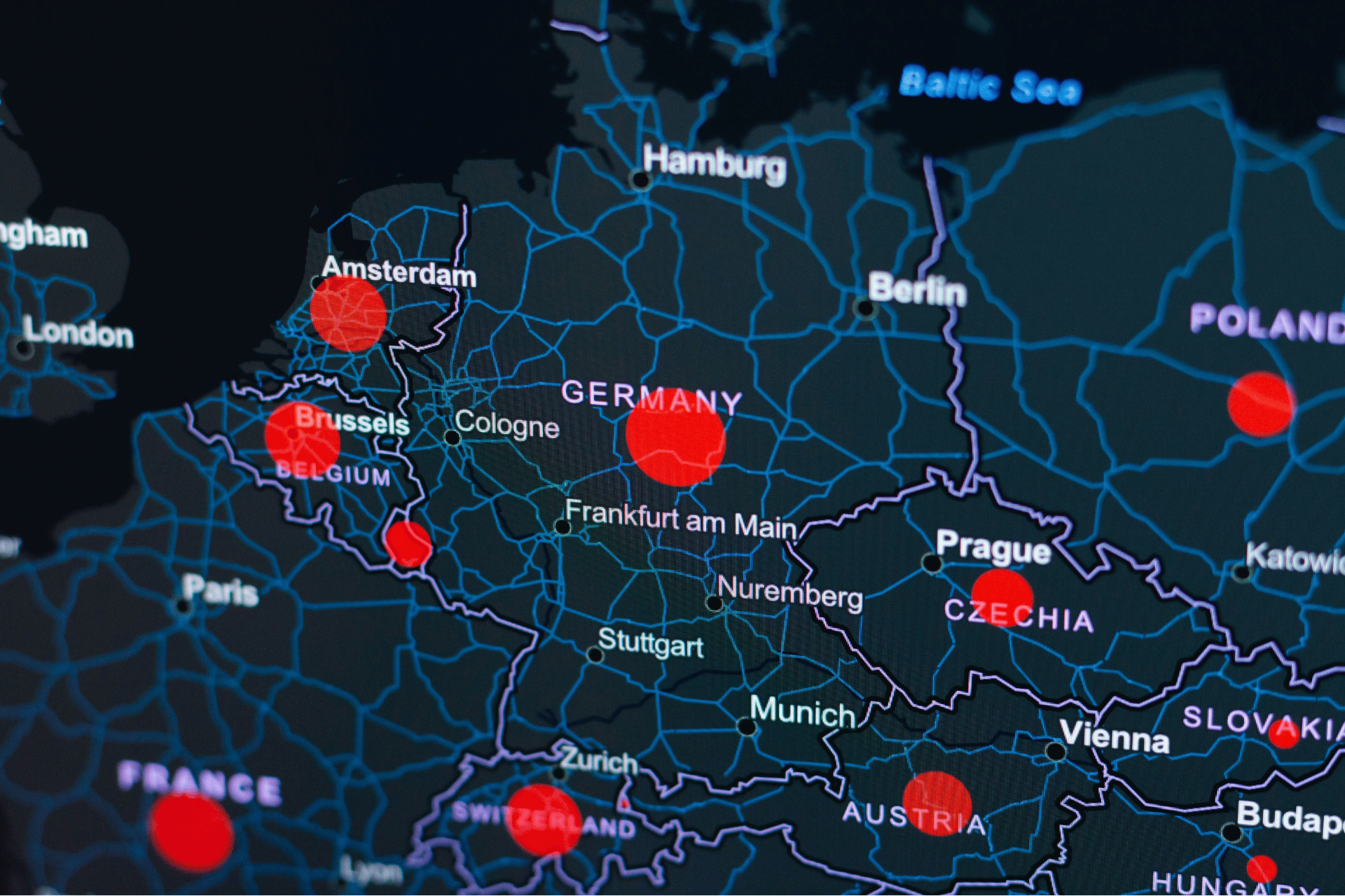
Compliance mapping supports projects that require spatial information to meet regulatory, planning, or environmental approval requirements. We prepare maps that integrate multiple spatial datasets — such as cadastral parcels, zoning layers, environmental constraints and survey data — to clearly present site conditions and project impacts.
These maps are commonly used in environmental assessments, planning applications, and regulatory submissions where accurate spatial representation and clear documentation are essential.
Report-style maps are designed specifically for inclusion in technical reports and project documentation. We focus on producing clear, well-structured cartographic outputs that present spatial information in a professional and easy-to-interpret format.
This includes environmental constraint maps, vegetation and habitat maps, site overview maps, and thematic maps used to support analysis, reporting and project communication.
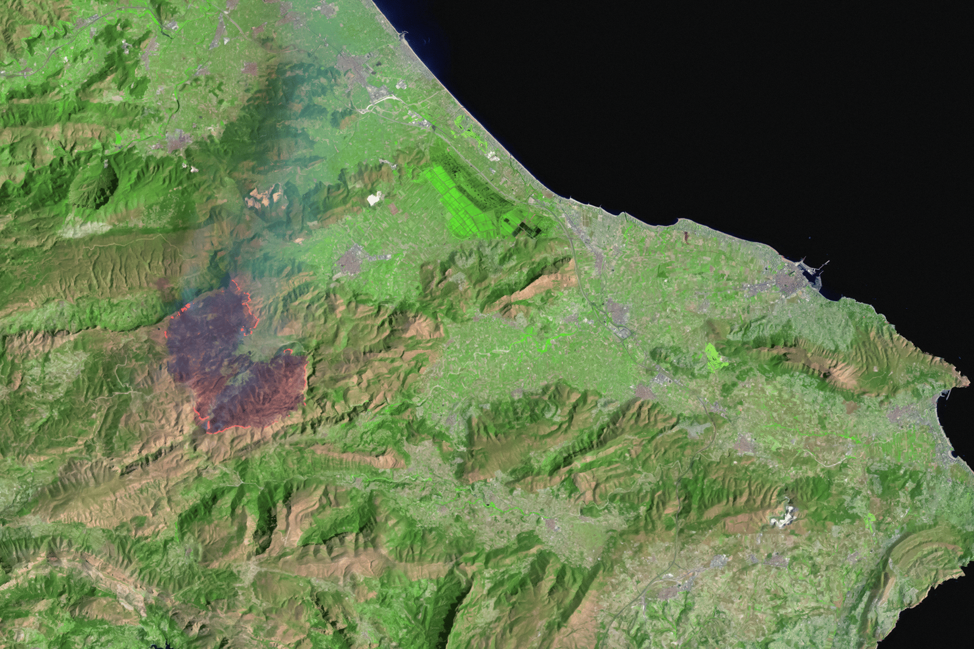
We provide advanced spatial analysis to support environmental assessment, project planning and spatial decision-making. By applying GIS-based analytical methods to a wide range of spatial datasets, we help identify spatial patterns, evaluate site constraints and opportunities, and generate insights that throughout entire project development and planning processes across environmental consulting, planning studies and infrastructure projects.

Effective spatial analysis and mapping depend on well-structured and reliable data. We provide spatial data management services that help organisations organise, maintain and improve the quality of their spatial and non-spatial datasets.

By combining field data collection with structured workflows and GIS integration, we help ensure that spatial data captured on site can be efficiently processed, analysed and incorporated into project datasets.
Whether you’re a farmer, distributor, or partner, we’re here to support your goals with sustainable solutions and global expertise.
.svg)